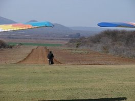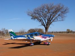
quelle bild: GOOGLE earth
details zu FABB, brakpan - quelle:
| Country | South Africa |
| ICAO | FABB |
| Time | UTC+2 |
| Elevation | 05300 |
| Clearance Status | Not an AOE |
| PPR / Slots Required | PPR: NO / Slots: NO |
| Operating Hours | Opr Sr-ss, Ot Pn. |
| Type | Active Airports Having Permanent Type Surface Runways With Less Than The Minimum Facilities Required For A, B, Or C Airports |
| Operating Agency | Private |
| Beacon | Y |
| Latitude | 26° 14' 19.14" S |
| Longitude | 028° 18' 06.37" E |
| Magnetic Variation | 017° W |
| Surface | ASP: Asphalt, Asphaltic Concrete, Tar Macadam, Or Bitumen Bound Macadam (including Any Of These Surface Types With Concrete Ends). |
| HEADING | 159.0 |
| Latitude | 26° 13' 57.43" S |
| Longitude | 028° 17' 56.91" E |
| Elevation | 5350.0 |
| Slope | -1.1° |
| Landing Distance | 4724 feet |
| Takeoff Distance | 5314 feet |
| Lighting Systems | PCL - Pilot Controlled Lighting PAPI - Precision Approach Path Indicator LIGHTS - |
| Surface | ASP: Asphalt, Asphaltic Concrete, Tar Macadam, Or Bitumen Bound Macadam (including Any Of These Surface Types With Concrete Ends). |
| HEADING | 339.0 |
| Latitude | 26° 14' 40.85" S |
| Longitude | 028° 18' 15.84" E |
| Elevation | 5300.0 |
| Slope | 1.1° |
| Landing Distance | 4724 feet |
| Takeoff Distance | 5314 feet |
| Lighting Systems | PAPI - Precision Approach Path Indicator LIGHTS - PCL - Pilot Controlled Lighting |
für uns etwas ungewohnt, zb elevation 5350 ft (zum vergleich schneeberg ist 6811 ft), weiters RW 18 mit heading 159, weiters die VAR von 017° W, "west is best", also VAR zum true heading dazuzählen, um das magnetic heading zu bekommen ;-)


